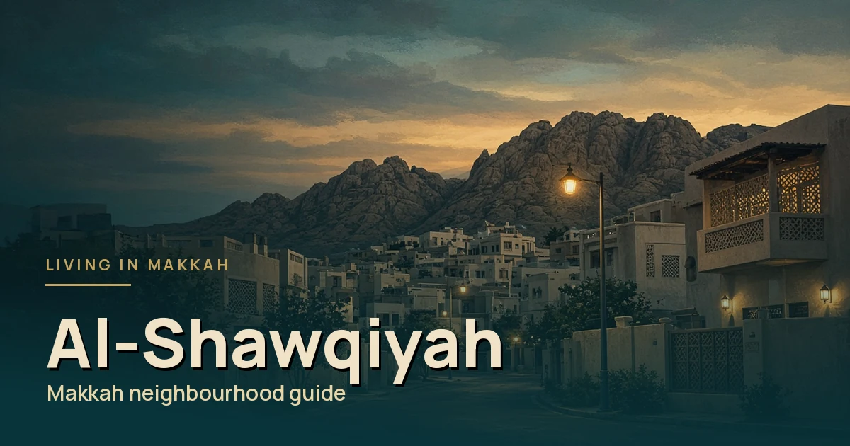
Al-Shawqiyah (also written Al-Shoqiyah) is the name families mention most when they want a calmer, residential pace without moving to the city’s edge. It also gives its name to a whole branch municipality.
This guide looks at it as a family base: space, parks, schools and the daily run into the centre.
Quick answer
Short answer: Al-Shawqiyah is a residential district about 5 km south-west of the Haram, measured on OpenStreetMap. It is mainly homes, so busy seasons are felt more on the roads than at your door, which makes it a common pick for families wanting calmer streets.
Where it is
On OpenStreetMap, the centre of the Al-Shawqiyah boundary sits about 5 km from Al-Masjid Al-Haram in a straight line, on a bearing of about 214°, which is south-west.
Arabic Wikipedia lists its neighbours as Al-Misfalah to the north, Wali Al-Ahd to the south, Al-Kaakiyah to the east and King Fahd district to the west. It describes the branch municipality as running south from the Third Ring Road, and from Al-Aziziyah in the east to the Jeddah expressway in the west.
At a glance
Al-Shawqiyah to the Haram: distance by walking, bus and taxi
Short answer: Al-Shawqiyah is about 5 km south-west of Al-Masjid Al-Haram in a straight line. By road the trip is roughly 6.5 to 7 km from the middle of the district, and longer from its edges. Most residents go by car, taxi or Makkah Bus rather than on foot.
| Way to travel | Approximate distance | What to expect |
|---|---|---|
| Straight line | About 5 km | Measured from the centre of the district’s OpenStreetMap boundary to the Haram. |
| Walking | About 9 km on a mapped walking route | Around two hours at a normal pace on the OpenStreetMap walking route. That isn’t realistic in the heat or for families, so most people only walk the last stretch. |
| Makkah Bus | Depends on your stop | The Royal Commission for Makkah City and Holy Sites (RCMC) lists a route that runs through Al-Kaakiyah and Al-Shawqiyah. Routes change in Ramadan and Hajj, so check the official Makkah Bus app for your nearest stop. |
| Car or taxi | About 6.5 to 7 km by road | Routing tools estimate around 10 minutes on empty roads. Expect much longer near prayer times, on Fridays and during Ramadan and Hajj. |
Tip: Before you sign a lease, do the trip to the Haram at the time you would really travel, such as before Maghrib or on a Friday. Traffic into the central area makes the biggest difference to how long it takes.
Sources: OpenStreetMap: Al-Shawqiyah boundary, OpenStreetMap: Al-Masjid Al-Haram, RCMC: Makkah Bus operational plan, Makkah Bus app.
A residential cluster
The Al-Shawqiyah municipality groups seven districts: Al-Zuhur, Al-Kaakiyah, Al-Khalidiyah, Al-Shawqiyah, King Fahd, Batha Quraish and Wali Al-Ahd, according to Wikipedia. Okaz listed Al-Shawqiyah among Makkah’s 13 branch municipalities in 2022.
Wikipedia gives an area of 5.55 km² for the district and a population of 55,825, but that population is from the 1413 AH (early 1990s) census. The district has grown since, so treat it only as a sense of scale.
What matters day to day is the feel: streets here are residential rather than visitor-focused.
Parks and family life
For families, outdoor space counts. OpenStreetMap maps the Umm Al-Mu’minin Zainab Al-Hilaliyah Park and Walkway inside the district. A walkway like this is useful for evening strolls once the heat drops, and for children who need somewhere to run.
OSM also maps a supermarket and a mall within the boundary, with more shops on the main roads nearby. For the weekly shop, our groceries guide has practical tips.
Tip
Visit the park on a weekday evening. You will see how local families actually use the area, and you can ask a neighbour or two about the street you are considering.
Housing in general terms
Expect a mix of flats and family homes. Prices vary with the street, the age of the building and the season, so compare live listings rather than trusting one quote.
Register any lease on the official Ejar platform, and avoid paying large sums before it is registered.
Schools and healthcare
Check school options through the Ministry of Education’s admission page, then visit before enrolling. Because the municipality is large, the right school may be in a neighbouring district.
For healthcare, OSM maps a King Abdullah dialysis centre in the district. Find your nearest primary care centre too; our licensed clinic guide explains how.
Getting around
Most families here drive. Before you commit, test the trip to work, school and the Haram at the times you would really travel.
If you do not drive, check the official Makkah Bus app for routes near your street. MBCO runs the citywide network.
| Al-Shawqiyah | Central districts | |
|---|---|---|
| Pace | Residential, calmer | Busy, visitor-focused |
| Busy seasons | Felt on roads into the centre | Crowds at the door |
| Space | More room, parks nearby | Tighter, high-rise |
| Haram trip | Drive or bus | Often walkable |
Who it suits
Al-Shawqiyah suits families who want routine and space and accept a drive to the Haram. It is worth comparing with its neighbours Al-Kaakiyah and Batha Quraish, which sit in the same municipality.
Distance is the straight line between the district’s OpenStreetMap boundary centroid and Al-Masjid Al-Haram (OSM relation 1472531), measured 12 Oct 2026. Road distance is longer.
FAQ
How far is Al-Shawqiyah from the Haram?
About 5 km in a straight line, roughly 6.5 to 7 km by road (OpenStreetMap-based routing). Most trips need a car, taxi or bus.
Is Al-Shawqiyah good for families?
It is often chosen for calmer residential streets and parks compared with central districts. Check schools and your commute before signing.
Do I need a car there?
Most households find a car helpful for the school run and shopping. Check Makkah Bus routes for your exact street too.
Must the lease be on Ejar?
Yes. Register the residential lease on the official Ejar platform before paying a large deposit or a year’s rent.
Last checked: 13 October 2026.
Sources
- https://www.openstreetmap.org/relation/19262635
- https://www.openstreetmap.org/relation/1472531
- https://ar.wikipedia.org/wiki/الشوقية_(مكة_المكرمة)
- https://www.okaz.com.sa/news/local/2118951
- https://rega.gov.sa/en/rega-services/eservices/register-the-residential-lease-contract/
- https://apps.apple.com/sa/app/makkah-bus/id1609922603
- https://mbco.sa/what-we-do
- https://www.moe.gov.sa/en/education/ResidentsAndvisitors/pages/schoolsadmission.aspx
- https://livinginmakkah.com/makkah-neighborhoods-guide-residents/