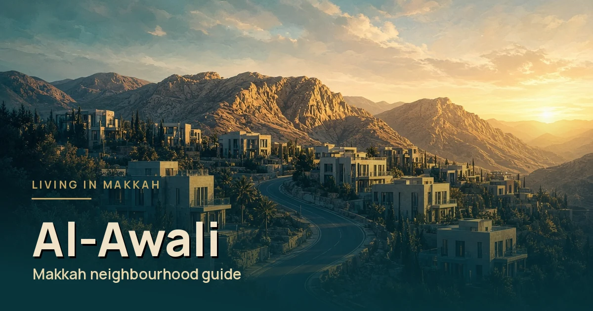
Al-Awali is where many families look when they want more space and newer buildings. It is one of the more suburban parts of Makkah, well away from the central crowds, and it has the schools and shops to make that distance workable.
This guide looks at it through that lens: newer housing, family services and the longer drive that comes with them.
Quick answer
Short answer: Al-Awali is a suburban district about 12 km south-east of the Haram, measured on OpenStreetMap, served by Al-Aziziyah branch municipality. It suits families who want space and are happy to drive.
Where it is
On OpenStreetMap, the centre of the Al-Awali boundary is about 12 km from Al-Masjid Al-Haram in a straight line, on a bearing of about 141° (south-east). It is one of the furthest of the districts in our guide.
The Saudi Press Agency has reported Al-Aziziyah branch municipality’s work in Al-Awali, which tells you which municipal office serves it. Okaz listed Al-Aziziyah among Makkah’s 13 branch municipalities in 2022.
Al-Awali to the Haram: distance by walking, bus and taxi
Short answer: Al-Awali is about 12 km south-east of Al-Masjid Al-Haram in a straight line. By road the trip is roughly 18 km from the middle of the district, and it varies from its edges. It is too far to walk for daily prayers, so most residents drive or take a taxi.
| Way to travel | Approximate distance | What to expect |
|---|---|---|
| Straight line | About 12 km | Measured from the centre of the district’s OpenStreetMap boundary to the Haram. |
| Walking | About 18 km on a mapped walking route | Around four hours at a normal pace on the OpenStreetMap walking route. That isn’t realistic for a regular trip, especially in the heat or with family. |
| Makkah Bus | Depends on your stop | Makkah Bus routes and stops change, and they change again in Ramadan and Hajj. Check the official Makkah Bus app for the stop nearest your street before relying on it. |
| Car or taxi | About 18 km by road | Routing tools estimate around 15 to 20 minutes on empty roads. Expect much longer near prayer times, on Fridays and during Ramadan and Hajj. |
Tip: Before you sign a lease, do the trip to the Haram at the time you would really travel, such as before Maghrib or on a Friday. Traffic into the central area makes the biggest difference to how long it takes.
Sources: OpenStreetMap: Al-Awali boundary, OpenStreetMap: Al-Masjid Al-Haram, Makkah Bus app.
At a glance
Newer housing, more space
Al-Awali has a suburban, newer feel compared with the older districts near the centre. Housing includes apartment buildings and larger family homes, and for many families the appeal is simply more room for the same household.
Rents depend on size, age and finish, and they can differ a lot between a new building and an older one nearby. Compare current listings rather than relying on what friends paid, and check what is included, such as parking and maintenance.
Tip
In a newer building, ask who handles maintenance and how quickly. Snagging problems are common in the first year, and a clear answer now saves arguments later.
Whatever you choose, register the lease on the official Ejar platform before you pay large sums.
Schools and the university campus
Education is one of Al-Awali’s strengths. OpenStreetMap maps five schools inside the district, including primary and intermediate schools and a private Montessori school, as well as a girls’ campus of Umm Al-Qura University.
Check admission rules on the Ministry of Education’s admission page and visit before enrolling. Our schools and tutors checklist can help you shortlist.
Shopping and daily life
OSM maps a mall and supermarkets, including a Bin Dawood branch, within the boundary. That covers the weekly shop and most errands without a long drive. Our groceries guide has more tips.
For healthcare, find the nearest primary care centre before you move. Our licensed clinic guide explains how.
Getting around
A car makes life much easier in Al-Awali. The Haram, central offices and family visits elsewhere in the city all mean a drive, so test your real routes at the times you would travel, including a Friday.
If you need public transport, check the official Makkah Bus app for routes near your street. MBCO runs the citywide network.
| Al-Awali | Central districts | |
|---|---|---|
| Housing | Newer, more space | Older or high-rise |
| Haram trip | A drive | Often walkable |
| Busy seasons | Felt mostly on roads | Crowds at the door |
| Schools nearby | Several mapped in district | Fewer, more visitor-led |
Who it suits
Al-Awali suits families who want space, newer homes and schools nearby, and who are comfortable driving to the Haram. It is less suited to someone without a car who wants to pray at the Haram daily.
Distance is the straight line between the district’s OpenStreetMap boundary centroid and Al-Masjid Al-Haram (OSM relation 1472531), measured 12 Oct 2026. Road distance is longer.
Sources
- https://www.openstreetmap.org/relation/19262632
- https://www.openstreetmap.org/relation/1472531
- https://www.spa.gov.sa/2096501
- https://www.okaz.com.sa/news/local/2118951
- https://rega.gov.sa/en/rega-services/eservices/register-the-residential-lease-contract/
- https://apps.apple.com/sa/app/makkah-bus/id1609922603
- https://mbco.sa/what-we-do
- https://www.moe.gov.sa/en/education/ResidentsAndvisitors/pages/schoolsadmission.aspx
- https://livinginmakkah.com/makkah-neighborhoods-guide-residents/
Leave a Reply